
I’m now collecting Social Security, which means I’ve crossed through the undefended barrier between middle-aged and just plain old, though I feel I have several decent years left and I’ve kept my full-time gig, as well as my writing on the side. What will I do with all this largesse? I’m thinking about replacement windows.
Around NYC there are several streets preceded by the word “old.” When you see them it’s a good bet you’re peeking into New York City’s past, since the “old” streets are often the original routes taken by their “parent” routes.
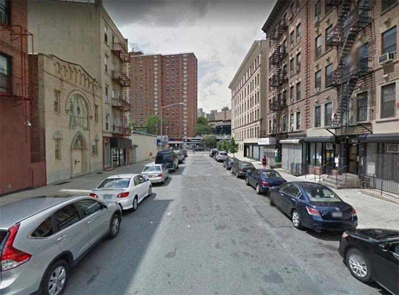
Why is there an Old Broadway in Manhattanville? Isn’t Broadway itself pretty old? Very. It follows the path of a trail known in colonial days as Bloomingdale Rd., which started at about where Madison Square is now, at 5th and 23rd (before these streets were mapped or built through) continuing along the present path of Broadway to 86th St., where it veered east, running between today’s Broadway and Amsterdam Aves. At 104th St. it again assumed Broadway’s present route until 107th, where it turned northwest until meeting the present path of Riverside Dr., following it to 116th. Here it turned northeast again, crossing Manhattan St. (today’s 125th St.) as Old Broadway. From 133rd St. it ran slightly east of the present Broadway to Amsterdam and 144th St. (today’s Hamilton Pl. is another remnant) and ended at St. Nicholas Ave. and 147th St.
As the area became more populated, and Bloomingdale Rd. was straightened and widened into the Broadway we know today in the 1870s, a bend in the road between 125th St. and 133rd St. was left over… which became Old Broadway.
Two “slices” of the old Bloomingdale Rd. persist. One is Old Broadway, which till the 1940s ran from W. 125th continuously in a bent path to W. 133rd. But when the Manhattanville Houses were built in the 1950s, it cut Old Broadway in two. The more interesting southern section runs from W. 125th north to W. 129th because that section has Harlem’s only synagogue, Old Broadway Synagogue, incorporated in 1911. The present building dates to 1923. Jewish populations held firm in Manhattanville decades after they’d abandoned Harlem. The northern “piece” of Old Broadway is fairly uninteresting, running along the Manhattanville Houses, beginning and ending at auto repair joints. One has a car on the roof.

Like LaGuardia Airport, Kennedy Airport has its own street system and sign design. I don’t drive, and JFK is so vast that it precludes my exploring it on foot. But there are a couple of street and road mysteries.
On older maps, Old Rockaway Blvd. is shown branching from Rockaway Blvd. proper at Farmers Blvd., and then dead-ending in cargo areas. Today, the configuration has changed, with Old Rockaway Blvd. running south past an NYPD tow pound from Boundary Rd., just inside the airport east of Farmers Blvd. Originally, whoever named it may have thought it was an un-straightened bend of Rockaway Blvd. proper, but I don’t buy it, as old maps going back to 1852 don’t show any such bend.

If you look at a map of Brooklyn from 1766, Fulton St. (or the road that evolved into it) is already in place, twisting and turning before running generally southeast and east. It was called Kings Highway until the U.S. Revolution. Roads laid out like this generally do so to avoid hills or swamps. But Fulton St. was never straightened and the portion between the East River and Borough Hall was called Fulton St. for over a century, until the large park called Cadman Plaza was created in the 1950s, and the portion of Fulton bordering the park was renamed Cadman Plaza West.
The street carried the name Cadman Plaza West all the way to the East River, which didn’t make much logical sense, since there’s no Cadman Plaza north of Prospect St. In the late-1970s the Department of Transportation decided to right this error by renaming the portion between the river and Prospect Street “Old Fulton Street.” At first this section of Brooklyn was barren, but the Fulton Ferry area has become a tourist mecca, and adjoining DUMBO home to apartments worth millions.
However: Prospect Park West between 15th St. and Green-Wood Cemetery is still called that (logically it should be 9th Ave.), even though it doesn’t border Prospect Park at all there.

Besides the still-existing Kingsbridge Rd., there is a tiny dirt path, Old Kingsbridge Road, running one block between Grote St. and the intersection of Garden St. and Southern Blvd. It’s identified by a single street sign and is paved only partway: the section with a couple of houses facing it, which is likely why this section has been preserved. Undoubtedly, new development will likely eliminate it.
The Bronx’s Kingsbridge Rd. runs from Marble Hill at the Bronx-Manhattan line (it’s called W. 225th Street in Marble Hill) east and southeast to Fordham Rd., following a meandering path defined at first by an animal trace, then a beaten path used by Native-Americans through the woods, then a colonial-era road used by both British and American troops in the Revolutionary War. However, it used to be much longer. The current routes of 3rd Ave., E. 184th St., E. 182nd St. and Grote St. in Belmont all trace its ancient pathway. This remnant is by far the most obscure.

Amboy Rd. is one of the major routes in southwest Staten Island, running from Richmond Rd. in New Dorp to Tottenville. It’s named for Perth Amboy, NJ, a town opposite Tottenville on the other side of the Arthur Kill from which a ferry ran at the end of Bentley St. for over a century until 1963. It curves, twists and turns to avoid hilly or swampy ground.
At Armstrong Ave., there’s a particularly snaky bend, Old Amboy Rd., that makes an S-curve, crossing Amboy Rd. twice and eventually straightening out a bit and ending at Amboy Rd. near Richmond Ave. The western end of Old Amboy Rd. was renamed St. Albans Pl. in the 1970s (see below). Much of Old Amboy Rd. is lined with auto repair and tire joins, like those shown here.

In this 1873 map, the current Amboy Rd. was a new section (“New Amboy Road”) built to straighten it out. The original path of Amboy Rd. can be seen along the thick green line, as it was the former boundary line of the Staten Island towns of Westfield and Southfield. These political entities were dissolved when Staten Island joined Greater New York in 1898.
In the 1970s, the western end of Old Amboy Rd. was renamed St. Albans Pl. for the historic Episcopal church shown above between Pacific and Winchester Aves. Originally, Church of the Holy Comforter, a small wood church was built in 1865 and moved to this location in 1873 and gradually expanded. The church was designed by architect Richard Mitchell Upjohn.
—Kevin Walsh is the webmaster of the award-winning website Forgotten NY, and the author of the books Forgotten New York (HarperCollins, 2006) and also, with the Greater Astoria Historical Society, Forgotten Queens (Arcadia, 2013)